

SPC storm ingredients: feeds current
SPC storm ingredients: Feed current; checked .
Checked means retrieved, not newly issued. Each graphic retains its issue, observation, initialization or valid time. Site publishing status is separate.
Storm ingredients: SPC’s hourly analysis
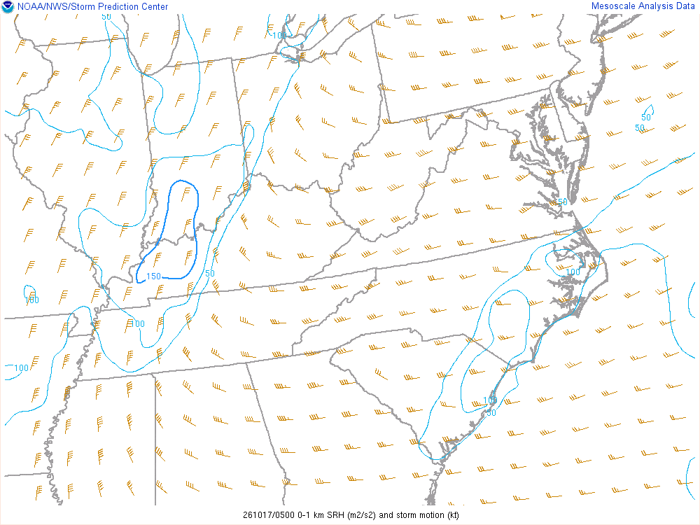
Low-level spin: 0–1 km storm-relative helicity (m²/s²)
How much spin the lowest kilometre of wind could give a storm’s updraft. Higher values matter for tornadoes only where supercells actually form.
The technical reading
Storm-relative helicity from the surface to 1 km above ground, using SPC’s estimated right-moving supercell motion, in m²/s². Values above roughly 100–150 favour tornadic supercells when other ingredients are present.
An ingredient, not a forecast: SPC’s analysis of the hour, from observations and a short-range model’s first guess. No one value is a warning or an outcome; storms need several ingredients together, and something to start them.
SPC mesoanalysis checked · Data: NOAA/SPC
Not an official warning service. Warnings and watches are the National Weather Service’s, outlooks and reports the Storm Prediction Center’s and the Weather Prediction Center’s (Data: NOAA/NWS, NOAA/SPC, NOAA/WPC). When a warning is issued for you, act on it, and use weather.gov or a NOAA Weather Radio for where you are.