

Model guidance: what the models forecast
HRRR · Simulated reflectivity · initialized · valid
REFS / HRRR: feeds current
REFS: Feed current; checked .
HRRR: Feed current; checked .
Checked means retrieved, not newly issued. Each graphic retains its issue, observation, initialization or valid time. Site publishing status is separate.
Simulated · a model’s storms, not radar
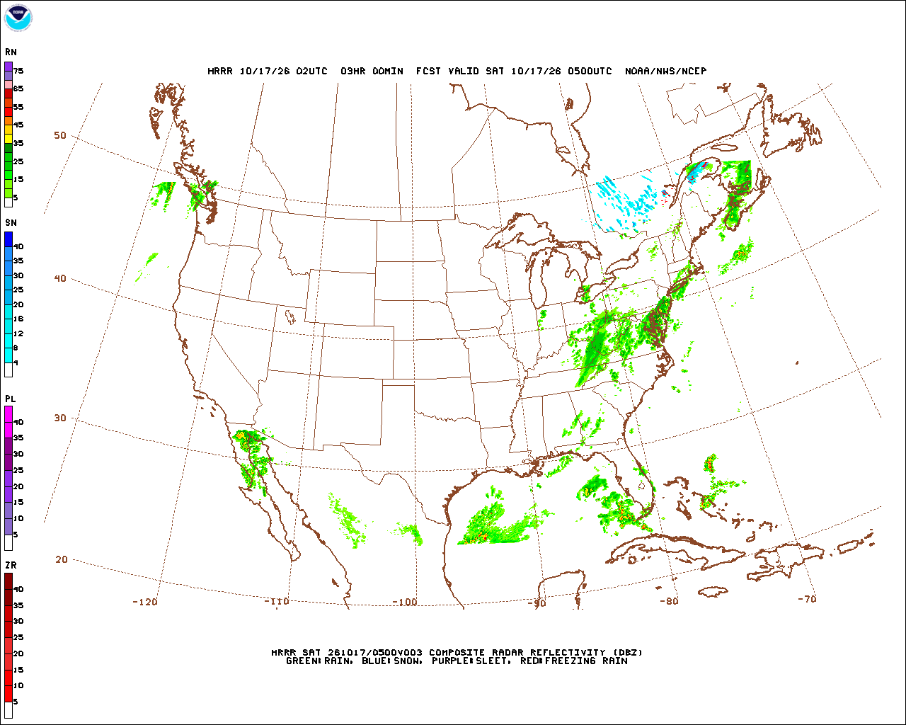
Simulated composite reflectivity (dBZ)
The strongest echo the model’s storms would give at any height, as a radar would show it. It is where this one run puts storms at this hour, drawn in radar’s colours: a model’s storms, never radar.
One run of one model: it shows where storms could be in this run, not how likely they are, and the next run can put them elsewhere. REFS gives the odds.
Model, field & forecast hours
Retention & comparison limits
Only rolling current frames and limited previous copies are retained. Complete historical runs are not archived, so two-run comparison is unavailable. Only the published forecast hours are stepped; gaps are explicit. Rainfall uses WPC’s existing forecast, not an unprovided model rainfall field.
REFS (NOMADS) checked · Data: NOAA/NCEP
HRRR pictures (MAG) checked · Data: NOAA/NCEP
Not an official warning service. Warnings and watches are the National Weather Service’s, outlooks and reports the Storm Prediction Center’s and the Weather Prediction Center’s (Data: NOAA/NWS, NOAA/SPC, NOAA/WPC). When a warning is issued for you, act on it, and use weather.gov or a NOAA Weather Radio for where you are.