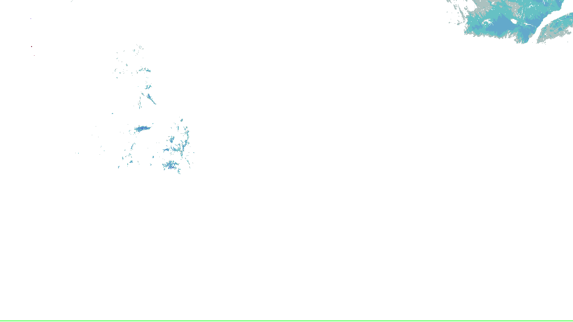
Source-rendered snow depth and snow water equivalent for the lower 48. History changes this snow picture only; warnings and radar keep their own clocks.
No NOHRSC picture displayed on the interactive map.
0 - 0.39 in
0.39 - 2.0 in
2.0 - 3.9 in
3.9 - 9.8 in
9.8 - 20 in
20 - 39 in
39 - 59 in
59 - 98 in
98 - 197 in
197 - 295 in
295 - 394 in
394 - 787 in
NOAA/NWS/NOHRSC’s original picture and legend. No station or address value is inferred.
NOHRSC footprint times are metadata; pixel analysis time is not independently verified. Snow-depth pixels have previously differed from the footprint time. This is modeled/assimilated snow analysis, not a measurement at a place. Unshaded and no-data areas do not establish zero snow.
Replay uses retained source bytes. Recording begins with activation; missing history is not clear weather.
Live sources keep independent clocks.
Replay coverage and interpretation
Rolling target: 24 hours; cells: six hours. Radar: NOAA MRMS national overview, 8-minute tolerance. Satellite: original GOES GeoColor day/night picture, hourly sampling, 75-minute tolerance. No interpolation or latest-image fallback. Warning and source checks retain their own clocks. “Recorded by” is collector acquisition evidence, not exact browser publication history.
Current GLM density, velocity and specialist layers are hidden during replay. Snow uses retained footprint metadata with unverified pixel time. Forecast uses one pinned issuance/run and exact valid time.
Collector checked ; feed generated . Zero cells does not establish coverage or clear weather. Observations from different radars are not merged.
Station and river observations (41)
Surface source current; observed water-level source current. Each reading keeps its own time. Map markers show at most 500 stations and 500 gauges; the complete source directory is paginated.
Circle: surface station; square: water-level gauge. Filled: current reading and source; hollow: stale, unconfirmed or missing observation. Marker color is not a hazard category. Enable “Stations and gauges” in Layers to inspect them on the map.
Station observations, not an address forecast or cyclone maximum wind. Maintenance-flagged, old and implausible reports are excluded by the existing parser; this is not independent NWS quality control.
Retained observations: 71; target 24 hours, at most 96 reports per station. Recording began 2026-10-17 06:15:07.108Z; oldest available reading 2026-10-17 12:55:00 UTC.
Observed sustained wind · 71 retained observations; 0 discontinuities. Lines join reported values only; missing intervals are not interpolated.Temperature, dew point and pressure trendsObserved temperature · 71 retained observations; 0 discontinuities. Lines join reported values only; missing intervals are not interpolated.Observed dew point · 71 retained observations; 0 discontinuities. Lines join reported values only; missing intervals are not interpolated.
Observed sea-level pressure: no readable observations.
Observed reports as a table (71)
Observed (UTC)
Wind / gust (kt)
From (° true)
Temperature / dew point (°C)
Pressure (mb)
Visibility (mi)
2026-10-17 12:55:00 UTC
0 / Not reported
Calm
-0.1 / -0.2
Not reported
10 or more
2026-10-17 13:15:00 UTC
0 / Not reported
Calm
0.5 / 0.3
Not reported
10 or more
2026-10-17 13:35:00 UTC
0 / Not reported
Calm
1.9 / 1.6
Not reported
10 or more
2026-10-17 13:55:00 UTC
0 / Not reported
Calm
2.9 / 2.5
Not reported
10 or more
2026-10-17 14:15:00 UTC
0 / Not reported
Calm
4.5 / 4
Not reported
10 or more
2026-10-17 14:35:00 UTC
0 / Not reported
Calm
5.2 / 4.1
Not reported
10 or more
2026-10-17 14:55:00 UTC
0 / Not reported
Calm
6.6 / 4.3
Not reported
10 or more
2026-10-17 15:15:00 UTC
3 / Not reported
170
7.7 / 2.4
Not reported
10 or more
2026-10-17 15:35:00 UTC
5 / Not reported
160
8.7 / 0.4
Not reported
10 or more
2026-10-17 15:55:00 UTC
4 / Not reported
150
9.1 / -1.7
Not reported
10 or more
2026-10-17 16:15:00 UTC
3 / Not reported
230
9.9 / -1.7
Not reported
10 or more
2026-10-17 16:35:00 UTC
6 / Not reported
250
10.2 / -0.5
Not reported
10 or more
2026-10-17 16:55:00 UTC
5 / Not reported
210
10.7 / -1.5
Not reported
10 or more
2026-10-17 17:15:00 UTC
6 / Not reported
210
11.1 / -3
Not reported
10 or more
2026-10-17 17:35:00 UTC
5 / Not reported
190
11.6 / -2.2
Not reported
10 or more
2026-10-17 17:55:00 UTC
5 / Not reported
220
12.3 / -0.9
Not reported
10 or more
2026-10-17 18:15:00 UTC
4 / Not reported
200
12.3 / -1
Not reported
10 or more
2026-10-17 18:35:00 UTC
7 / Not reported
200
12.7 / -1.7
Not reported
10 or more
2026-10-17 18:55:00 UTC
6 / Not reported
200
13.2 / -1.7
Not reported
10 or more
2026-10-17 19:15:00 UTC
5 / Not reported
210
13.5 / -2.2
Not reported
10 or more
2026-10-17 19:35:00 UTC
8 / Not reported
200
13.8 / -2.1
Not reported
10 or more
2026-10-17 19:55:00 UTC
7 / Not reported
210
13.9 / -1.7
Not reported
10 or more
2026-10-17 20:15:00 UTC
7 / Not reported
190
14 / -1.5
Not reported
10 or more
2026-10-17 20:35:00 UTC
7 / Not reported
210
14.3 / -1
Not reported
10 or more
2026-10-17 20:55:00 UTC
9 / Not reported
200
14 / -1
Not reported
10 or more
2026-10-17 21:15:00 UTC
7 / Not reported
190
14 / -1
Not reported
10 or more
2026-10-17 21:35:00 UTC
6 / Not reported
200
14 / -0.9
Not reported
10 or more
2026-10-17 21:55:00 UTC
6 / Not reported
200
13.7 / -0.1
Not reported
10 or more
2026-10-17 22:15:00 UTC
9 / Not reported
180
13.3 / -0.4
Not reported
10 or more
2026-10-17 22:35:00 UTC
5 / Not reported
190
12.8 / -0.4
Not reported
10 or more
2026-10-17 22:55:00 UTC
7 / Not reported
190
11.9 / -0.5
Not reported
10 or more
2026-10-17 23:15:00 UTC
7 / Not reported
190
10.6 / -0.3
Not reported
10 or more
2026-10-17 23:35:00 UTC
5 / Not reported
200
10.3 / -0.5
Not reported
10 or more
2026-10-17 23:55:00 UTC
5 / Not reported
190
10 / -0.7
Not reported
10 or more
2026-10-18 00:15:00 UTC
3 / Not reported
160
8.1 / -0.1
Not reported
10 or more
2026-10-18 00:35:00 UTC
4 / Not reported
170
5.8 / 0.3
Not reported
10 or more
2026-10-18 00:55:00 UTC
3 / Not reported
190
7.5 / 0.3
Not reported
10 or more
2026-10-18 01:15:00 UTC
4 / Not reported
170
7.2 / 0
Not reported
10 or more
2026-10-18 01:35:00 UTC
0 / Not reported
Calm
5.5 / 0
Not reported
10 or more
2026-10-18 01:55:00 UTC
3 / Not reported
160
5.1 / 0.5
Not reported
10 or more
2026-10-18 02:15:00 UTC
6 / Not reported
150
4.4 / 0
Not reported
10 or more
2026-10-18 02:35:00 UTC
6 / Not reported
160
4.7 / 0
Not reported
10 or more
2026-10-18 02:55:00 UTC
6 / Not reported
170
5.1 / 0
Not reported
10 or more
2026-10-18 03:15:00 UTC
6 / Not reported
170
5.3 / 0
Not reported
10 or more
2026-10-18 03:35:00 UTC
7 / Not reported
170
5.7 / 0.1
Not reported
10 or more
2026-10-18 03:55:00 UTC
6 / Not reported
170
5.5 / 0
Not reported
10 or more
2026-10-18 04:15:00 UTC
7 / Not reported
170
6 / 0.3
Not reported
10 or more
2026-10-18 04:35:00 UTC
7 / Not reported
150
5.8 / 0.2
Not reported
10 or more
2026-10-18 04:55:00 UTC
7 / Not reported
150
4.8 / 0
Not reported
10 or more
2026-10-18 05:15:00 UTC
6 / Not reported
150
3.9 / 0.1
Not reported
10 or more
2026-10-18 05:35:00 UTC
7 / Not reported
150
4.7 / 0.8
Not reported
10 or more
2026-10-18 05:55:00 UTC
6 / Not reported
150
4.4 / 0.3
Not reported
10 or more
2026-10-18 06:15:00 UTC
5 / Not reported
150
3.6 / 0.5
Not reported
10 or more
2026-10-18 06:35:00 UTC
5 / Not reported
150
3.9 / 0.8
Not reported
10 or more
2026-10-18 06:55:00 UTC
5 / Not reported
160
4 / 0.9
Not reported
10 or more
2026-10-18 07:15:00 UTC
5 / Not reported
160
4.4 / 0.8
Not reported
10 or more
2026-10-18 07:35:00 UTC
6 / Not reported
160
4.3 / 0.7
Not reported
10 or more
2026-10-18 07:55:00 UTC
7 / Not reported
160
4.4 / 0.8
Not reported
10 or more
2026-10-18 08:15:00 UTC
6 / Not reported
170
4.6 / 1
Not reported
10 or more
2026-10-18 08:35:00 UTC
6 / Not reported
160
4.3 / 0.6
Not reported
10 or more
2026-10-18 08:55:00 UTC
6 / Not reported
170
4.2 / 0.7
Not reported
10 or more
2026-10-18 09:15:00 UTC
7 / Not reported
160
4 / 0.8
Not reported
10 or more
2026-10-18 09:35:00 UTC
5 / Not reported
160
3.8 / 0.7
Not reported
10 or more
2026-10-18 09:55:00 UTC
6 / Not reported
150
3.8 / 0.8
Not reported
10 or more
2026-10-18 10:15:00 UTC
6 / Not reported
150
3.6 / 1
Not reported
10 or more
2026-10-18 10:35:00 UTC
5 / Not reported
160
3.5 / 1
Not reported
10 or more
2026-10-18 10:55:00 UTC
7 / Not reported
160
3.6 / 1.2
Not reported
10 or more
2026-10-18 11:15:00 UTC
7 / Not reported
160
3.7 / 1.1
Not reported
10 or more
2026-10-18 11:35:00 UTC
7 / Not reported
160
3.7 / 1.2
Not reported
10 or more
2026-10-18 11:55:00 UTC
8 / Not reported
150
3.4 / 1.2
Not reported
10 or more
2026-10-18 12:15:00 UTC
7 / Not reported
160
3.5 / 1.2
Not reported
10 or more
Capture times, quality and provenance
Each report keeps its observation time, first capture of this version, and the SHA-256 of the source bulk body. Corrections at the same observation time replace that point and are marked; unrelated bulk-file changes do not freshen a report.
wssi-day2 · source-revision · Recorded 2026-10-18T12:38:05.100Z
wssi-day3 · source-revision · Recorded 2026-10-18T12:38:05.100Z
wssi-day1 · source-revision · Recorded 2026-10-18T12:38:05.100Z
radar-alerts · source-revision · Recorded 2026-10-18T12:37:04.409Z
radar-alerts · source-revision · Recorded 2026-10-18T12:36:03.202Z
day1-tornado · source-revision · Recorded 2026-10-18T12:35:06.216Z
day1-wind · source-revision · Recorded 2026-10-18T12:35:06.216Z
day1-categorical · source-revision · Recorded 2026-10-18T12:35:06.216Z
Recording coverage and limits
warnings: retained from 2026-10-17T12:38:40.436Z through 2026-10-18T12:38:04.535Z
outlooks: retained from 2026-10-17T12:38:40.436Z through 2026-10-18T12:35:06.216Z
hydro: retained from 2026-10-17T12:38:40.436Z through 2026-10-18T12:35:05.943Z
analysis: retained from 2026-10-17T12:38:40.436Z through 2026-10-18T12:30:06.668Z
winter: retained from 2026-10-17T12:38:40.436Z through 2026-10-18T12:38:05.100Z
Source-message history is not recorded imagery replay. Recorded radar/satellite imagery is not available in this view.
Checks every minute; each layer keeps its own time.
Coastal observations
Scheduled public-station observations
Water levels are relative to the named datum, not flood depth above ground. Observations keep their own report times.
Coverage and interpretation
Observed water level is relative to the named vertical datum, not flood depth above ground. Observed minus predicted tide is a matched-time residual, not a universal storm-surge or inundation forecast. Buoy wind is not a cyclone maximum; significant wave height is not coastal flood depth. Missing readings are not zero.
Only operator-configured public stations are collected. Coastal context includes stations inside the named monitoring area or within 100 nautical miles of a vertex of its published outline, so offshore buoys can be included; this is a proximity rule, not an impact footprint. Cyclone-only context is within 600 nautical miles of the selected advisory center. Shown center distances are not impact radii. Station-file history without a reported position is not assigned a historical location.
NOAA CO-OPS water levels and predicted tide
Source current · checked 2026-10-18 12:38:03.937Z. 0 configured stations in this view.
No configured station has been collected in this scope. This does not establish safe coastal conditions.
NOAA NDBC wind, pressure and waves
Source current · checked 2026-10-18 12:36:02.571Z. 0 configured stations in this view.
No configured station has been collected in this scope. This does not establish safe coastal conditions.
WPC’s WSSI, overall impact, Days 1–3, valid to , issued . WPC issues each day and cause on its own clock. Not a warning, and not a chance. Data: NOAA/NWS/WPC.
Chance of Moderate impacts or worse, Day 1
WPC: “WSSI does not depict official warnings and should always be used in context with official NWS forecasts and warnings.”
WPC’s Probabilistic Winter Precipitation Forecast, to , issued . Outlines, as WPC draws them. Data: NOAA/NWS/WPC.
Winter watches, warnings and advisories
Frost Advisory6until · NWS Chicago IL, NWS Indianapolis IN, NWS Lincoln IL, 2 more offices
NWS’s winter and cold alerts in force in the area, by event as issued, each counted once, with the offices that issued them and the latest end. Data: NOAA/NWS.
Snow on the ground
NOHRSC snow depth and snow water equivalent use the source’s original pictures and legends, with qualified footprint times. Open the cached source page for availability and retained history. This wall has no snow picture to rotate; missing imagery does not mean no snow.
NHC’s and JTWC’s storms, their official graphics and the watches and warnings for them. Storm Mode’s own tropical panels arrive with its tropical events.
The Radar page’s winter preset over the area: HRDPS forecast snow with NWS’s warnings on top, loaded by your browser. A forecast, labelled as one there.
Not an official warning service. Warnings and watches are the National Weather Service’s, outlooks and reports the Storm Prediction Center’s and the Weather Prediction Center’s (Data: NOAA/NWS, NOAA/SPC, NOAA/WPC). When a warning is issued for you, act on it, and use weather.gov or a NOAA Weather Radio for where you are.


 0 - 0.39 in
 0.39 - 2.0 in
 2.0 - 3.9 in
 3.9 - 9.8 in
 9.8 - 20 in
 20 - 39 in
 39 - 59 in
 59 - 98 in
 98 - 197 in
 197 - 295 in
 295 - 394 in
 394 - 787 in