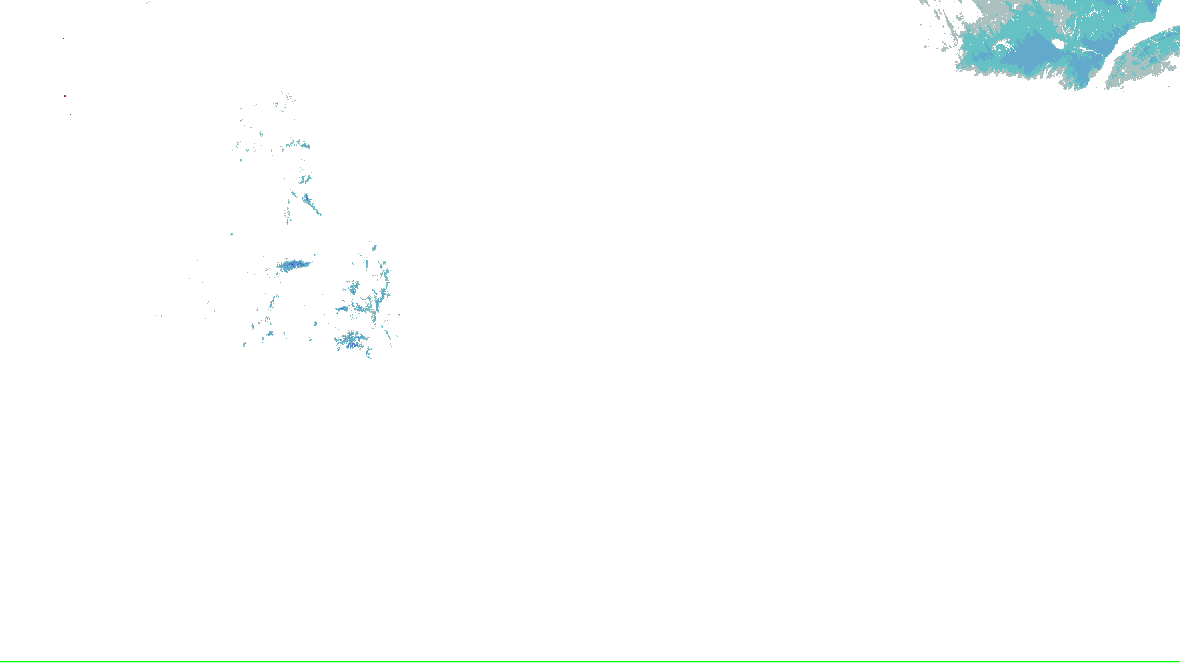
Source-rendered snow depth and snow water equivalent for the lower 48. History changes this snow picture only; warnings and radar keep their own clocks.
No NOHRSC picture displayed on the interactive map.
0 - 0.39 in
0.39 - 2.0 in
2.0 - 3.9 in
3.9 - 9.8 in
9.8 - 20 in
20 - 39 in
39 - 59 in
59 - 98 in
98 - 197 in
197 - 295 in
295 - 394 in
394 - 787 in
NOAA/NWS/NOHRSC’s original picture and legend. No station or address value is inferred.
NOHRSC footprint times are metadata; pixel analysis time is not independently verified. Snow-depth pixels have previously differed from the footprint time. This is modeled/assimilated snow analysis, not a measurement at a place. Unshaded and no-data areas do not establish zero snow.
Replay uses retained source bytes. Recording begins with activation; missing history is not clear weather.
Live sources keep independent clocks.
Replay coverage and interpretation
Rolling target: 24 hours; cells: six hours. Radar: NOAA MRMS national overview, 8-minute tolerance. Satellite: original GOES GeoColor day/night picture, hourly sampling, 75-minute tolerance. No interpolation or latest-image fallback. Warning and source checks retain their own clocks. “Recorded by” is collector acquisition evidence, not exact browser publication history.
Current GLM density, velocity and specialist layers are hidden during replay. Snow uses retained footprint metadata with unverified pixel time. Forecast uses one pinned issuance/run and exact valid time.
Collector checked ; feed generated . Zero cells does not establish coverage or clear weather. Observations from different radars are not merged.
Station and river observations (33)
Surface source current; observed water-level source current. Each reading keeps its own time. Map markers show at most 500 stations and 500 gauges; the complete source directory is paginated.
Circle: surface station; square: water-level gauge. Filled: current reading and source; hollow: stale, unconfirmed or missing observation. Marker color is not a hazard category. Enable “Stations and gauges” in Layers to inspect them on the map.
Official geographic context; not a storm footprint.
Recent source changes
radar-alerts · source-revision · Recorded 2026-10-18T17:48:02.647Z
office-hwo · source-revision · Recorded 2026-10-18T17:45:07.119Z
office-afd · source-revision · Recorded 2026-10-18T17:45:07.119Z
metars · source-revision · Recorded 2026-10-18T17:45:07.089Z
gauge-details · source-revision · Recorded 2026-10-18T17:45:06.192Z
gauges-observed · source-revision · Recorded 2026-10-18T17:45:06.192Z
radar-alerts · source-revision · Recorded 2026-10-18T17:41:02.788Z
office-afd · source-revision · Recorded 2026-10-18T17:40:06.545Z
Recording coverage and limits
warnings: retained from 2026-10-17T17:49:47.306Z through 2026-10-18T17:49:03.839Z
outlooks: retained from 2026-10-17T17:49:47.306Z through 2026-10-18T17:45:07.119Z
hydro: retained from 2026-10-17T17:49:47.306Z through 2026-10-18T17:45:06.192Z
analysis: retained from 2026-10-17T17:49:47.306Z through 2026-10-18T17:45:07.089Z
winter: retained from 2026-10-17T17:49:47.306Z through 2026-10-18T17:38:05.410Z
Source-message history is not recorded imagery replay. Recorded radar/satellite imagery is not available in this view.
Checks every minute; each layer keeps its own time.
Analysis and model context
Current cached context, independently dated. Regional reference: KY; a reference within a wider monitoring area does not replace the complete warning geography. This section remains separate from the historical replay cursor and official cyclone forecast. Use Forecast to pin a retained model package.
Surface: what stations observe and WPC analyses
Kentucky: one station shown in each small area of the map, so it stays legible; the table lists every station in a state.
On the map
72Observed temperature, °F, above-left of the station
65Observed dew point, °F, below-left
Observed temperature and dew point are left off the map on a screen this narrow: the table below lists every station’s.
⟋Observed wind: the staff points to where it blows from; a full barb is 10 kt, a half 5, a pennant 50; a ring is calm
Analysis cold front
Analysis warm front
Analysis stationary front
Analysis occluded front
Analysis dry line
Analysis trough
H LAnalysis high and low pressure centres, with their pressure in millibars
WPC’s bulletin does not say which side of a front its symbols go, so this map draws no triangles or half-circles; each front is named on the map and in the list.
Observed 2,102 stations, each at its own time, most between and . Airport and other automated stations’ reports (METARs), as AviationWeather.gov decodes them. Left out: 614 reports flagged by the station for maintenance and no reports that cannot be right; no other quality control is applied here.
Analysis WPC’s surface analysis valid , issued . A forecaster’s analysis of the fronts and pressure centres at that hour, every three hours.
WPC analyses no front across Kentucky; troughs are drawn on the map.
Every station in Kentucky (33)
33 stations in Kentucky, by identifier
Station
Observed
Temperature
Dew point
Wind
Pressure
Visibility
Weather
K1A6
63 °F
31 °F
100° 4 kt
—
10+ mi
—
K27K
61 °F
32 °F
090° 7 kt
—
10+ mi
—
K2I0
62 °F
33 °F
150° 3 kt
—
10+ mi
—
K6I2
66 °F
28 °F
070° 6 kt
—
10+ mi
—
KAAS
63 °F
32 °F
140° 6 kt
—
10+ mi
—
KBYL
62 °F
35 °F
170° 6 kt
—
9 mi
—
KCEY
63 °F
41 °F
variable 5 kt
—
10+ mi
—
KCVG
59 °F
33 °F
140° 9 kt
1034.2 mb
10+ mi
—
KDVK
61 °F
30 °F
190° 4 kt
—
4 mi
HZ
KEKX
62 °F
37 °F
calm
—
10+ mi
—
KFGX
60 °F
32 °F
140° 4 kt
—
10+ mi
—
KGDA
63 °F
36 °F
050° 3 kt
—
10+ mi
—
KGLW
62 °F
37 °F
180° 4 kt
—
10+ mi
—
KHOP
64 °F
40 °F
calm
1031.7 mb
10+ mi
—
KHVC
63 °F
39 °F
variable 4 kt
—
10+ mi
—
KI35
62 °F
25 °F
100° 4 kt
—
7 mi
—
KI93
63 °F
34 °F
variable 6 kt
—
10+ mi
—
KIOB
61 °F
32 °F
calm
—
10+ mi
—
KK24
62 °F
34 °F
080° 3 kt
—
10+ mi
—
KK62
61 °F
32 °F
090° 6 kt
—
10+ mi
—
KKY8
64 °F
39 °F
variable 4 kt, gusts 11 kt
—
10+ mi
—
KLOU
60 °F
34 °F
not given
1034.0 mb
10+ mi
—
KLOZ
59 °F
32 °F
variable 5 kt
1033.2 mb
10+ mi
—
KM21
62 °F
36 °F
140° 3 kt
—
10+ mi
—
KM25
63 °F
40 °F
130° 5 kt
—
9 mi
—
KOWB
62 °F
32 °F
150° 10 kt
1033.2 mb
10+ mi
—
KPAH
63 °F
39 °F
130° 9 kt
—
10+ mi
—
KPBX
59 °F
27 °F
070° 4 kt
—
10+ mi
—
KRGA
63 °F
30 °F
080° 6 kt
—
10+ mi
—
KSDF
61 °F
34 °F
120° 6 kt
1033.6 mb
10+ mi
—
KSJS
60 °F
32 °F
090° 7 kt
—
10+ mi
—
KSME
63 °F
36 °F
variable 4 kt
—
10+ mi
—
KSYM
61 °F
30 °F
130° 6 kt, gusts 12 kt
—
10+ mi
—
Surface observations checked· Data: NOAA/NWS Aviation Weather Center
WPC surface analysis checked· Data: NOAA/WPC
Spotlight: Winter Storm Severity Index
1 of 15
Winter Storm Severity Index
WPC: “WSSI does not depict official warnings and should always be used in context with official NWS forecasts and warnings.”
WPC’s WSSI, overall impact, Days 1–3, valid to , issued . WPC issues each day and cause on its own clock. Not a warning, and not a chance. Data: NOAA/NWS/WPC.
Chance of Moderate impacts or worse, Day 1
WPC: “WSSI does not depict official warnings and should always be used in context with official NWS forecasts and warnings.”
WPC’s Probabilistic Winter Precipitation Forecast, to , issued . Outlines, as WPC draws them. Data: NOAA/NWS/WPC.
Winter watches, warnings and advisories
Frost Advisory33 not yet in effect · until · NWS Charleston WV, NWS Louisville KY, NWS Wilmington OH
NWS’s winter and cold alerts in force in the area, by event as issued, each counted once, with the offices that issued them and the latest end. Data: NOAA/NWS.
Snow on the ground
NOHRSC snow depth and snow water equivalent use the source’s original pictures and legends, with qualified footprint times. Open the cached source page for availability and retained history. This wall has no snow picture to rotate; missing imagery does not mean no snow.
NHC’s and JTWC’s storms, their official graphics and the watches and warnings for them. Storm Mode’s own tropical panels arrive with its tropical events.
The Radar page’s winter preset over the area: HRDPS forecast snow with NWS’s warnings on top, loaded by your browser. A forecast, labelled as one there.
Not an official warning service. Warnings and watches are the National Weather Service’s, outlooks and reports the Storm Prediction Center’s and the Weather Prediction Center’s (Data: NOAA/NWS, NOAA/SPC, NOAA/WPC). When a warning is issued for you, act on it, and use weather.gov or a NOAA Weather Radio for where you are.


 0 - 0.39 in
 0.39 - 2.0 in
 2.0 - 3.9 in
 3.9 - 9.8 in
 9.8 - 20 in
 20 - 39 in
 39 - 59 in
 59 - 98 in
 98 - 197 in
 197 - 295 in
 295 - 394 in
 394 - 787 in