Storm Mode / Tracked area

Tornado: Missouri

Wall mode

3 warnings total · 0 tornado warnings · 8 alerts including watches and advisories

Current alert feed · checked

Warnings in area

8 of 8 alerts
  1. Freeze WarningEmmet; Kossuth; Winnebago; Worth; Palo Alto; Hancock; Cerro Gordo; Pocahontas; Humboldt; Wright; Franklin; Butler; Bremer; Sac; Calhoun; Webster; Hamilton; Hardin; Grundy; Black Hawk; Crawford; Carroll; Greene; Boone; Story; Marshall; Tama; Audubon; Guthrie; Dallas; Polk; Jasper; Poweshiek; Cass; Adair; Madison; Warren; Marion; Mahaska; Adams; Union; Clarke; Lucas; Monroe; Wapello; Taylor; Ringgold; Decatur; Wayne; AppanooseNWS Des Moines IA · until warning · alerts checked
  2. Freeze WarningAtchison; Doniphan; Atchison; Nodaway; Worth; Gentry; Harrison; Mercer; Putnam; Holt; Andrew; De Kalb; Daviess; Grundy; Sullivan; BuchananNWS Kansas City/Pleasant Hill MO · until warning · alerts checked
  3. Freeze WarningMonona; Harrison; Shelby; Pottawattamie; Mills; Montgomery; Fremont; Page; Knox; Cedar; Thurston; Antelope; Pierce; Wayne; Boone; Madison; Stanton; Cuming; Burt; Platte; Colfax; Dodge; Washington; Butler; Saunders; Douglas; Sarpy; Seward; Lancaster; Cass; Otoe; Saline; Jefferson; Gage; Johnson; Nemaha; Pawnee; RichardsonNWS Omaha/Valley NE · until warning · alerts checked
  4. Frost AdvisoryMiami; Linn; Leavenworth; Wyandotte; Johnson; Schuyler; Adair; Clinton; Caldwell; Livingston; Linn; Macon; Platte; Clay; Ray; Carroll; Chariton; Randolph; Jackson; Lafayette; Saline; Cass; JohnsonNWS Kansas City/Pleasant Hill MO · until advisory · radar-alerts checked
  5. Frost AdvisoryGreene; Macoupin; Montgomery; Adams; Brown; Pike; Calhoun; Jersey; Knox; Lewis; Shelby; Marion; Monroe; Ralls; Pike; Audrain; LincolnNWS St Louis MO · until advisory · radar-alerts checked
  6. Frost AdvisoryLouisa; Henry; Des Moines; Van Buren; Lee; Henry; Bureau; Putnam; Mercer; Henderson; Warren; Hancock; McDonough; Scotland; ClarkNWS Quad Cities IA IL · until advisory · radar-alerts checked
  7. Frost AdvisoryDavisNWS Des Moines IA · until advisory · radar-alerts checked
  8. Frost AdvisoryJefferson; Wayne; Edwards; Wabash; Perry; Franklin; Hamilton; White; Jackson; Williamson; Saline; Gallatin; Union; Johnson; Pope; Hardin; Alexander; Pulaski; Massac; Gibson; Pike; Posey; Vanderburgh; Warrick; Spencer; Fulton; Hickman; Carlisle; Ballard; McCracken; Graves; Livingston; Marshall; Calloway; Crittenden; Lyon; Trigg; Caldwell; Union; Webster; Hopkins; Christian; Henderson; Daviess; McLean; Muhlenberg; Todd; Perry; Bollinger; Cape Girardeau; Wayne; Carter; Ripley; Butler; Stoddard; Scott; Mississippi; New MadridNWS Paducah KY · until advisory · radar-alerts checked

Watched places

Places saved on this device appear here with scripting enabled.

Find or save a place
Layers

Map

NWS’s polygons as issued, or the zones a zone-issued alert names; SPC’s watches by their counties. Checked . Data: NOAA/NWS, NOAA/SPC.

Agency warning geometry · no observed imagery displayed
North ↑

Interactive imagery loads separately. Missing radar does not remove warnings or imply clear weather.

Alert outlines: NOAA/NWS; cell points/observed segments: IEM/NEXRAD. A warning polygon is not a tornado footprint.

Lightning activity — GOES GLM

Total lightning, including in-cloud activity. Not ground-strike locations or a safe-to-go-outside signal.

Cached lightning observations have not loaded. An empty map is not zero lightning.

Cached lightning source details and text readings

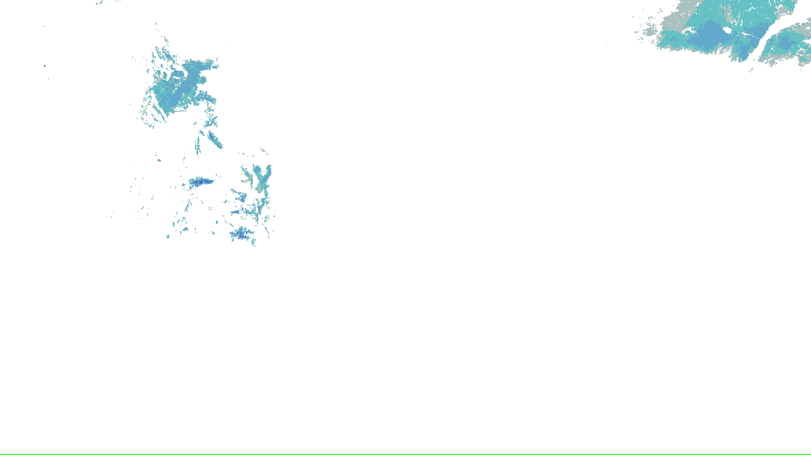
Snow analysis — NOHRSC

Source-rendered snow depth and snow water equivalent for the lower 48. History changes this snow picture only; warnings and radar keep their own clocks.

Stored snow depth · footprint valid 2026-10-16 21:00:00 UTC, picture retrieved 2026-10-17 05:23:07.248 UTC.

No NOHRSC picture displayed on the interactive map.

  • 0 - 0.39 in
  • 0.39 - 2.0 in
  • 2.0 - 3.9 in
  • 3.9 - 9.8 in
  • 9.8 - 20 in
  • 20 - 39 in
  • 39 - 59 in
  • 59 - 98 in
  • 98 - 197 in
  • 197 - 295 in
  • 295 - 394 in
  • 394 - 787 in
NOHRSC snow analysis for the lower 48; see the adjacent source legend and time qualification
NOAA/NWS/NOHRSC’s original picture and legend. No station or address value is inferred.

NOHRSC footprint times are metadata; pixel analysis time is not independently verified. Snow-depth pixels have previously differed from the footprint time. This is modeled/assimilated snow analysis, not a measurement at a place. Unshaded and no-data areas do not establish zero snow.

Snow pictures, retained history and source provenance

Radar-derived cells (0) · unavailable

Collector checked not reported; feed generated not reported. Zero cells does not establish coverage or clear weather. Observations from different radars are not merged.

    Inspector

    Choose a warning, cell or place

    Select a row or map feature for its official details. Overlapping features offer a choice; all peer warnings remain in the list.

    Recent source changes

    Recording coverage and limits
    • warnings: retained from 2026-10-16T05:31:35.837Z through 2026-10-17T05:31:03.682Z
    • outlooks: retained from 2026-10-16T05:31:35.837Z through 2026-10-17T05:30:07.999Z
    • hydro: retained from 2026-10-16T05:31:35.837Z through 2026-10-17T05:25:05.126Z
    • analysis: retained from 2026-10-16T05:31:35.837Z through 2026-10-17T05:30:06.960Z
    • winter: retained from 2026-10-16T05:31:35.837Z through 2026-10-17T05:23:03.257Z

    Source-message history is not recorded imagery replay. Recorded radar/satellite imagery is not available in this view.

    Auto-updating checks this site’s cache every minute; each source keeps its own clock.

    Spotlight: SPC Day 1 outlook

    1 of 5

    SPC Day 1 outlook

    • General Thunderstorms Risk

    SPC’s Day 1 categorical outlook, valid to , issued . SPC’s categories, as drawn. Data: NOAA/SPC.

    Watches

    No tornado or severe thunderstorm watch in force in this area.

    SPC’s watches, by number, matched by the counties they list. Data: NOAA/SPC.

    Mesoscale discussions

    No mesoscale discussion reaches this area.

    SPC’s mesoscale discussions whose outline reaches the area. Data: NOAA/SPC.

    Storm ingredients

    SPC’s hourly mesoanalysis, observed soundings and model guidance for the area, on the Analysis tab with its own clocks.

    Open the Analysis tab

    Drawn by the Analysis tab’s own renderer. Data: NOAA/SPC, NOAA/NCEP.

    Radar

    NOAA’s radar for the area, loaded by your browser as on the Radar page.

    Open the radar

    Live tiles; the radar keeps no last-good copy.

    What changed, last 60 minutes

    since , when this server began watching this area
    1. SPC Day 1 outlook issued

    The products’ own words and times, and what is no longer in force since the last read. Never written by AI.

    Monitoring area, legacy alert summary and selection rules
    Area
    Missouri (NWS states: MO)
    Hazards
    Tornado warnings, watches and advisories, and the forecasts for them
    Window
    In force now, with the next days of SPC’s and WPC’s products
    Made by
    This address: anyone can make one, and nothing is stored. Change the area or hazards

    An area you chose, not a storm’s footprint: everything here is in force in this area, never “from this storm”.

    In force in this area

    No warning, watch or advisory for these hazards is in force in this area.

    NWS’s alerts checked : a successful check, so this is none in force, not “can’t tell”.

    Sources

    Not an official warning service. Warnings and watches are the National Weather Service’s, outlooks and reports the Storm Prediction Center’s and the Weather Prediction Center’s (Data: NOAA/NWS, NOAA/SPC, NOAA/WPC). When a warning is issued for you, act on it, and use weather.gov or a NOAA Weather Radio for where you are.