

Flash-flood risk, Day 1
- Marginal
WPC’s excessive rainfall outlook, to , issued : a chance of flash flooding, in four categories. Data: NOAA/WPC.
Storm Mode · Severe weather event
13 warnings total · 0 tornado warnings · 16 alerts including watches and advisories
Current alert feed · checked
Places saved on this device appear here with scripting enabled.
NWS’s polygons as issued, or the zones a zone-issued alert names; SPC’s watches by their counties. Checked . Data: NOAA/NWS, NOAA/SPC.
Interactive imagery loads separately. Missing radar does not remove warnings or imply clear weather.
Alert outlines: NOAA/NWS; cell points/observed segments: IEM/NEXRAD. A warning polygon is not a tornado footprint.
Total lightning, including in-cloud activity. Not ground-strike locations or a safe-to-go-outside signal.
Cached lightning observations have not loaded. An empty map is not zero lightning.
Source-rendered snow depth and snow water equivalent for the lower 48. History changes this snow picture only; warnings and radar keep their own clocks.
Stored snow depth · footprint valid 2026-10-16 18:00:00 UTC, picture retrieved 2026-10-17 03:08:05.170 UTC.
No NOHRSC picture displayed on the interactive map.
 0 - 0.39 in
 0.39 - 2.0 in
 2.0 - 3.9 in
 3.9 - 9.8 in
 9.8 - 20 in
 20 - 39 in
 39 - 59 in
 59 - 98 in
 98 - 197 in
 197 - 295 in
 295 - 394 in
 394 - 787 in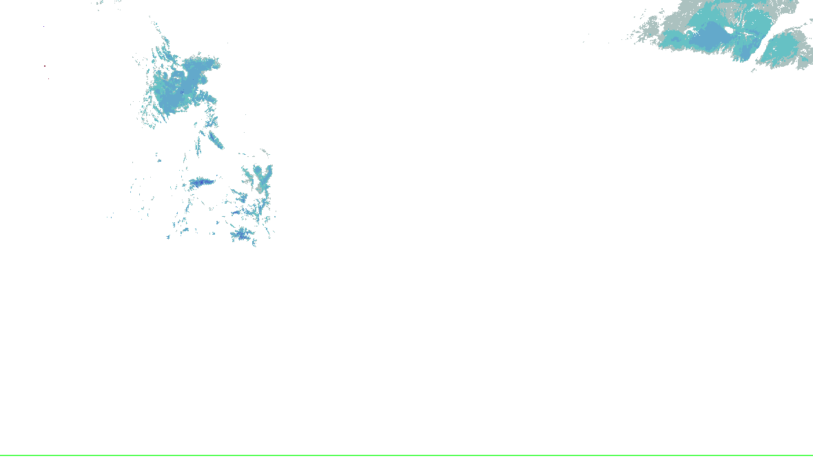
NOHRSC footprint times are metadata; pixel analysis time is not independently verified. Snow-depth pixels have previously differed from the footprint time. This is modeled/assimilated snow analysis, not a measurement at a place. Unshaded and no-data areas do not establish zero snow.
Collector checked not reported; feed generated not reported. Zero cells does not establish coverage or clear weather. Observations from different radars are not merged.
Historical message · warning-extended-time
Flood Warning
This is retained evidence, not current protective-action guidance. Segment cancellation does not establish that every part of the warning ended.
The polygon is a warned area, not a tornado footprint. NWS detection tags are independent of radar algorithms and reports.
Flood Warning issued October 16 at 9:01AM CDT until October 18 at 3:18AM CDT by NWS Austin/San Antonio TX
...The Flood Warning is extended for the following rivers in Texas...

Rio Grande At Foster Ranch affecting Val Verde County.

* WHAT...Moderate flooding is forecast.

* WHERE...Rio Grande at Foster Ranch.

* WHEN...From this afternoon to late Saturday night.

* IMPACTS...At 15.0 feet, (4.6 meters), moderate lowland flooding
into the right flood plain floods campsites below Dryden to Amistad
Reservoir. Turbulence is very dangerous for swimmers, tubers and
canoeists. Livestock are trapped in low areas of the channel and
banks and potentially can drown.

* ADDITIONAL DETAILS...
- At 8:15 AM CDT Friday the stage was 9.3 feet.
- Bankfull stage is 14.0 feet.
- Forecast...The river will rise above flood stage late this
afternoon to 16.0 feet just after midnight tonight. It will then
fall below flood stage tomorrow afternoon to 11.4 feet Sunday
morning. It will rise to 12.7 feet early Sunday afternoon. It
will then fall again and remain below flood stage.
- Flood stage is 14.0 feet.
- Flood History...This crest compares to a previous crest of 16.0
feet on 10/01/1991.
- http://www.weather.gov/safety/flood
Motorists should not attempt to drive around barricades or drive cars
through flooded areas.

Be especially cautious at night when it is harder to recognize the
dangers of flooding.

Even 6 inches of fast-moving flood water can knock you off your feet
and a depth of 2 feet will float your car. Never try to walk, swim,
or drive through such swift water. If you come upon flood waters,
stop, turn around and go another way.

Please report observed flooding to local emergency services or law
enforcement and request they pass this information to the National
Weather Service when you can do so safely.

Additional information is available at www.weather.gov.

The next statement will be issued this evening at 915 PM CDT.
Data: NOAA/NWS · KEWX.FL.W.0060
Source-message history is not recorded imagery replay. Recorded radar/satellite imagery is not available in this view.
Auto-updating checks this site’s cache every minute; each source keeps its own clock.
WPC’s excessive rainfall outlook, to , issued : a chance of flash flooding, in four categories. Data: NOAA/WPC.
0 major · 1 moderate · 3 minor · 4 at action stage
NWS’s gauges at flood stage or above in the area, worst first, each with its forecast hydrograph on Rain & rivers. Data: NOAA/NWPS.
WPC’s rain forecast and MRMS’s radar estimate of the rain that fell, on the Briefing’s map for the area.
Data: NOAA/WPC, NOAA/NSSL MRMS.
SPC’s Day 1 categorical outlook, valid to , issued . SPC’s categories, as drawn. Data: NOAA/SPC.
No tornado or severe thunderstorm watch in force in this area.
SPC’s watches, by number, matched by the counties they list. Data: NOAA/SPC.
No mesoscale discussion reaches this area.
SPC’s mesoscale discussions whose outline reaches the area. Data: NOAA/SPC.
SPC’s hourly mesoanalysis, observed soundings and model guidance for the area, on the Analysis tab with its own clocks.
Drawn by the Analysis tab’s own renderer. Data: NOAA/SPC, NOAA/NCEP.
NOAA’s radar for the area, loaded by your browser as on the Radar page.
Live tiles; the radar keeps no last-good copy.
Nothing has changed since 02:24Z.
The products’ own words and times, and what is no longer in force since the last read. Never written by AI.
An area the operators chose, not a storm’s footprint: everything here is in force in this area, never “from this event”.
Most urgent first, by the Briefing’s ranking. Checked .
Curated events, as published checked
NWS warnings and SPC watches checked
NWS watches and advisories checked
SPC mesoscale discussions checked
SPC Day 1 outlook checked
WPC excessive rainfall checked
NWPS river gauges checked
Radar live tiles, no last-good copy
Not an official warning service. Warnings and watches are the National Weather Service’s, outlooks and reports the Storm Prediction Center’s and the Weather Prediction Center’s (Data: NOAA/NWS, NOAA/SPC, NOAA/WPC). When a warning is issued for you, act on it, and use weather.gov or a NOAA Weather Radio for where you are.